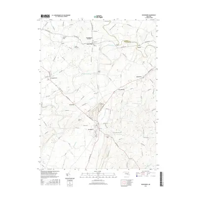
2016 Map of Woodsboro
USGS Topo · Published 2016About this map
Woodsboro and the surrounding Frederick County countryside are defined by the winding course of the Monocacy River, which serves as a central axis for many of the area's earliest landmarks. In the north, the Loys Station Covered Bridge stands near Loys, while further downstream, the Le Gore Bridge and Millers Bridge provide critical crossings for the local road network. The landscape is dotted with several significant burial grounds, such as Mount Tabor Cem and Saint Johns Cem, which offer valuable records for genealogical research into the region's established families.
Find a feature on this map
111 named features on this map. Tap any name to fly to it.
Don’t see what you’re looking for? This feature index may not catch every label — zoom into the map to look around manually.
Map Details
Editions of this 2016 Woodsboro Map
This is the sole edition of this map. No revisions or reprints were ever made.
Other maps of this area

1893 · Frederick
USGS Topo · 1:125,000

1894 · Frederick
USGS Topo · 1:125,000

1908 · Ijamsville
USGS Topo · 1:62,500

1909 · Mount Airy
USGS Topo · 1:62,500

1909 · Ijamsville
USGS Topo · 1:62,500

1911 · Taneytown
USGS Topo · 1:62,500

1911 · Emmitsburg
USGS Topo · 1:62,500

1942 · Frederick
USGS Topo · 1:62,500

1942 · Gettysburg
USGS Topo · 1:125,000

1943 · Emmitsburg
USGS Topo · 1:62,500