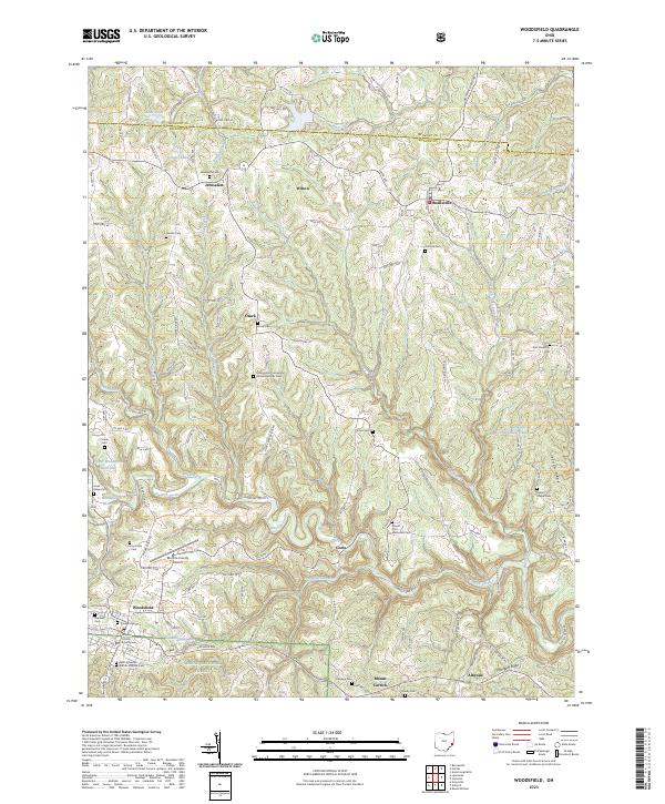
2023 Map of Woodsfield
USGS Topo · Published 2023About this map
Woodsfield serves as the seat of Monroe County, anchored by the Monroe County Courthouse and a surrounding network of historic cemeteries including Pioneer Cem and Oaklawn Cem. This portion of southeastern Ohio is defined by a dendritic drainage pattern where Sunfish Creek and its tributaries like Standingstone Run and Baker Fork carve through the plateau. To the south, the Wayne National Forest provides a protected wooded landscape, while the Monroe County Airport sits on a high ridge between the creek valleys.
Find a feature on this map
123 named features on this map. Tap any name to fly to it.
Don’t see what you’re looking for? This feature index may not catch every label — zoom into the map to look around manually.
Map Details
Editions of this 2023 Woodsfield Map
This is the sole edition of this map. No revisions or reprints were ever made.
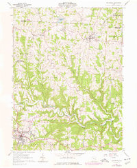
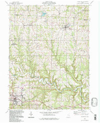
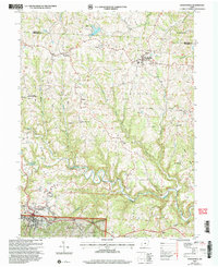
Historical Maps of Adams Township Through Time
5 maps found

Featured Locations
- Sunsbury Township, OH
- Adams Township, OH
- Jerusalem, OH
- Woodsfield, Center Township
- Beallsville, Sunsbury Township