
1959 Map of Woodstock
USGS Topo · Published 1975About this map
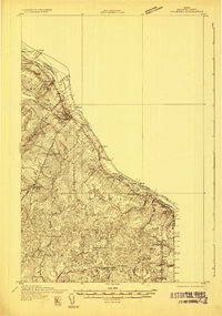
Woodstock serves as a central hub on this international border survey, illustrating the deep connections between Aroostook County, Maine, and New Brunswick, Canada. The Saint John River and Aroostook River systems facilitate both industry and settlement, with the Bangor & Aroostook and Canadian Pacific railroads weaving through agricultural and timber lands. Notable landmarks include the Tobique I.R. 20 and the Acadia Forest Experiment Station, reflecting the region's diverse land management from indigenous reserves to scientific forestry.
Find a feature on this map
82 named features on this map. Tap any name to fly to it.
Don’t see what you’re looking for? This feature index may not catch every label — zoom into the map to look around manually.
Map Details
Editions of this 1959 Woodstock Map
This is the sole edition of this map. No revisions or reprints were ever made.
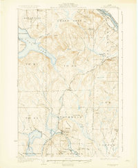
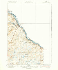
Other maps of this area

1921 · Van Buren
USGS Topo · 1:250,000

1927 · Stockholm
USGS Topo · 1:48,000

1929 · Caribou
USGS Topo · 1:48,000

1930 · Fort Fairfield
USGS Topo · 1:48,000
1931 · Van Buren
USGS Topo · 1:48,000
1931 · Stockholm
USGS Topo · 1:62,500

1932 · Caribou
USGS Topo · 1:62,500

1933 · Fort Fairfield
USGS Topo · 1:62,500

1934 · Bridgewater
USGS Topo · 1:48,000
1934 · Van Buren
USGS Topo · 1:62,500