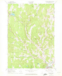
1966 Map of Woodstock North
USGS Topo · Published 1972About this map
The Ottauquechee River valley and the upland hill country of Windsor County define this landscape during the mid-1960s. The village of Woodstock anchors the southern portion of the sheet, while the northern reaches are dominated by the waters of Silver Lake and the recreational grounds of Silver Lake State Park. Between these hubs, the terrain is deeply etched by a network of drainage systems including Broad Brook, Turkey Hollow Brook, and Mill Brook, which dictate the placement of winding country roads and the small hamlets of Pomfret and South Pomfret.
Find a feature on this map
47 named features on this map. Tap any name to fly to it.
Don’t see what you’re looking for? This feature index may not catch every label — zoom into the map to look around manually.
Map Details
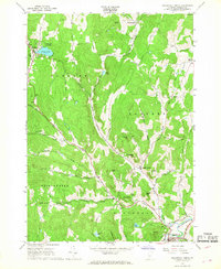
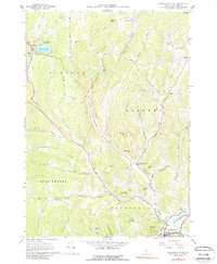
Editions of this 1966 Woodstock North Map
3 editions found
Other maps of this area

1896 · Strafford
USGS Topo · 1:62,500

1906 · Hanover
USGS Topo · 1:62,500

1908 · Hanover
USGS Topo · 1:62,500

1911 · Woodstock
USGS Topo · 1:62,500

1913 · Woodstock
USGS Topo · 1:62,500

1919 · Royalton
USGS Topo · 1:62,500

1924 · Randolph
USGS Topo · 1:48,000

1926 · Randolph
USGS Topo · 1:62,500

1943 · Woodstock
USGS Topo · 1:62,500

1944 · Strafford
USGS Topo · 1:62,500