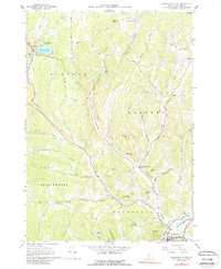
1966 Map of Woodstock North
USGS Topo · Published 1988About this map
The hills of Windsor County are defined by a network of narrow brook valleys and high points like Hawks Hill and Grandmadam Hill as they appeared in the mid-1960s. The village of Barnard serves as a northern anchor near the shores of Silver Lake, where Silver Lake State Park and the Village Cem sit adjacent to the Royalton Turnpike. The landscape is largely rural, characterized by scattered hamlets like South Pomfret and East Barnard, connected by winding routes such as Stage Road and Skyline Drive.
Find a feature on this map
55 named features on this map. Tap any name to fly to it.
Don’t see what you’re looking for? This feature index may not catch every label — zoom into the map to look around manually.
Map Details
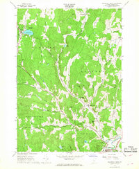
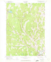
Editions of this 1966 Woodstock North Map
3 editions found
Other maps of this area

1896 · Strafford
USGS Topo · 1:62,500

1906 · Hanover
USGS Topo · 1:62,500

1908 · Hanover
USGS Topo · 1:62,500

1911 · Woodstock
USGS Topo · 1:62,500

1913 · Woodstock
USGS Topo · 1:62,500

1919 · Royalton
USGS Topo · 1:62,500

1924 · Randolph
USGS Topo · 1:48,000

1926 · Randolph
USGS Topo · 1:62,500

1943 · Woodstock
USGS Topo · 1:62,500

1944 · Strafford
USGS Topo · 1:62,500