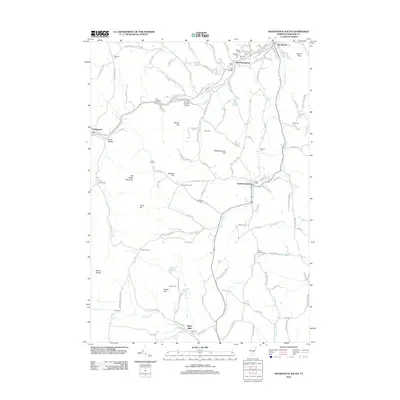
2012 Map of Woodstock South
USGS Topo · Published 2012About this map
The Ottauquechee River and its major tributary, Kedron Brook, define the settlement patterns of this Windsor County landscape. In the north, the village of Woodstock sits at the base of Mount Peg, while the river valley to the west contains the industrial and transit landmarks of West Woodstock and Bridgewater. Notable infrastructure includes the Lincoln Covered Bridge and the Iron Bridge, which historically facilitated movement across the varying terrain of Biscuit Hill and Meetinghouse Hill.
Find a feature on this map
135 named features on this map. Tap any name to fly to it.
Don’t see what you’re looking for? This feature index may not catch every label — zoom into the map to look around manually.
Map Details
Editions of this 2012 Woodstock South Map
This is the sole edition of this map. No revisions or reprints were ever made.
Other maps of this area

1906 · Hanover
USGS Topo · 1:62,500

1908 · Hanover
USGS Topo · 1:62,500

1911 · Woodstock
USGS Topo · 1:62,500

1913 · Woodstock
USGS Topo · 1:62,500

1926 · Claremont
USGS Topo · 1:62,500

1928 · Ludlow
USGS Topo · 1:48,000

1929 · Claremont
USGS Topo · 1:62,500

1929 · Ludlow
USGS Topo · 1:62,500

1932 · Ludlow
USGS Topo · 1:62,500

1943 · Woodstock
USGS Topo · 1:62,500