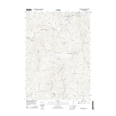
2015 Map of Woodstock South
USGS Topo · Published 2015About this map
Woodstock and its surrounding hill country are characterized by a network of historic river crossings and family burial grounds in this modern topographic study. The Ottauquechee River winds through the northern portion of the map, featuring several architectural landmarks including the Middle Covered Bridge, the Lincoln Covered Bridge, and the Iron Bridge. These structures, along with the Mill Bridge, reflect the region's enduring reliance on traditional transport routes.
Find a feature on this map
132 named features on this map. Tap any name to fly to it.
Don’t see what you’re looking for? This feature index may not catch every label — zoom into the map to look around manually.
Map Details
Editions of this 2015 Woodstock South Map
This is the sole edition of this map. No revisions or reprints were ever made.
Other maps of this area

1906 · Hanover
USGS Topo · 1:62,500

1908 · Hanover
USGS Topo · 1:62,500

1911 · Woodstock
USGS Topo · 1:62,500

1913 · Woodstock
USGS Topo · 1:62,500

1926 · Claremont
USGS Topo · 1:62,500

1928 · Ludlow
USGS Topo · 1:48,000

1929 · Claremont
USGS Topo · 1:62,500

1929 · Ludlow
USGS Topo · 1:62,500

1932 · Ludlow
USGS Topo · 1:62,500

1943 · Woodstock
USGS Topo · 1:62,500