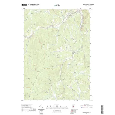
2021 Map of Woodstock South
USGS Topo · Published 2021About this map
The Ottauquechee River winds through this Windsor County landscape, serving as a historic corridor connecting the settlements of Woodstock, West Woodstock, and Bridgewater. The area’s engineering heritage is well-represented by distinctive spans such as the Lincoln Covered Bridge and the Middle Covered Bridge. Away from the river valley, the terrain rises into prominent heights including Old Baldy Mtn and Meetinghouse Hill, where the land is marked by numerous family-named landmarks. Genealogists will find an exceptional density of small burial grounds scattered across the hillsides, from the Hendee Cem and Fullerton Cem to the Walker-Jaquith Cem and Mendall Cem. These sites, alongside landmarks like Iron Bridge and the Carlton Reservoir, reflect a long-settled rural community where the road network, including Cox District Rd and Church Hill Rd, follows the contours of the Vermont uplands.
Find a feature on this map
124 named features on this map. Tap any name to fly to it.
Don’t see what you’re looking for? This feature index may not catch every label — zoom into the map to look around manually.
Map Details
Editions of this 2021 Woodstock South Map
This is the sole edition of this map. No revisions or reprints were ever made.
Other maps of this area

1906 · Hanover
USGS Topo · 1:62,500

1908 · Hanover
USGS Topo · 1:62,500

1911 · Woodstock
USGS Topo · 1:62,500

1913 · Woodstock
USGS Topo · 1:62,500

1926 · Claremont
USGS Topo · 1:62,500

1928 · Ludlow
USGS Topo · 1:48,000

1929 · Claremont
USGS Topo · 1:62,500

1929 · Ludlow
USGS Topo · 1:62,500

1932 · Ludlow
USGS Topo · 1:62,500

1943 · Woodstock
USGS Topo · 1:62,500