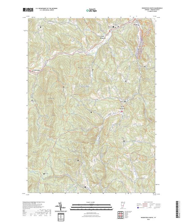
2024 Map of Woodstock South
USGS Topo · Published 2024About this map
Woodstock and its surrounding valleys are defined by the winding course of the Ottauquechee River and a dense network of mountain-flanked roads. The presence of the Windsor County Courthouse Civil Division reflects the town's historical importance as a center of local governance. The map details a landscape transition from the village centers of West Woodstock and South Woodstock to the higher elevations of Old Baldy Mtn and Mt Moses. This area is particularly notable for its high density of family and community burial grounds, such as Mendall Cem, Walker-Jaquith Cem, and Fullerton Cem, which are scattered throughout the hills. Water features like Carlton Reservoir and Cox Reservoir indicate the development of local infrastructure, while the branching paths of Kedron Brook and Mill Brook dictate the placement of rural residences and historic homesteads.
Find a feature on this map
114 named features on this map. Tap any name to fly to it.
Don’t see what you’re looking for? This feature index may not catch every label — zoom into the map to look around manually.
Map Details
Editions of this 2024 Woodstock South Map
This is the sole edition of this map. No revisions or reprints were ever made.
Other maps of this area

1906 · Hanover
USGS Topo · 1:62,500

1908 · Hanover
USGS Topo · 1:62,500

1911 · Woodstock
USGS Topo · 1:62,500

1913 · Woodstock
USGS Topo · 1:62,500

1926 · Claremont
USGS Topo · 1:62,500

1928 · Ludlow
USGS Topo · 1:48,000

1929 · Claremont
USGS Topo · 1:62,500

1929 · Ludlow
USGS Topo · 1:62,500

1932 · Ludlow
USGS Topo · 1:62,500

1943 · Woodstock
USGS Topo · 1:62,500