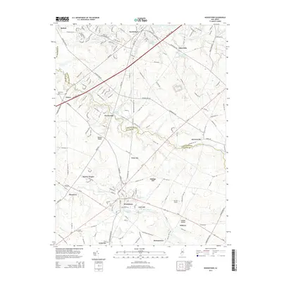
2014 Map of Woodstown
USGS Topo · Published 2014About this map
Woodstown serves as a historic nexus in this 2014 survey, where the Salem River meets a network of established roads including Kings Hwy and Us-40. The landscape is defined by its mill-town heritage, visible in settlements like Porches Mill and Dilkes Mills, alongside geographic markers like Eldridge Hill. The transition from Gloucester County to Salem County is traced by the winding path of Oldmans Creek, which separates townships and supports numerous local ponds and runs.
Find a feature on this map
46 named features on this map. Tap any name to fly to it.
Don’t see what you’re looking for? This feature index may not catch every label — zoom into the map to look around manually.
Map Details
Editions of this 2014 Woodstown Map
This is the sole edition of this map. No revisions or reprints were ever made.
Other maps of this area

1890 · Salem
USGS Topo · 1:62,500

1890 · Glassboro
USGS Topo · 1:62,500

1891 · Philadelphia
USGS Topo · 1:62,500

1894 · Chester
USGS Topo · 1:62,500

1894 · Philadelphia
USGS Topo · 1:62,500

1896 · Philadelphia
USGS Topo · 1:62,500

1896 · Chester
USGS Topo · 1:62,500

1898 · Salem
USGS Topo · 1:62,500

1898 · Glassboro
USGS Topo · 1:62,500

1898 · Chester
USGS Topo · 1:62,500