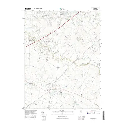
2016 Map of Woodstown
USGS Topo · Published 2016About this map
Woodstown and the surrounding farmland of Salem and Gloucester counties define this survey, where the Salem River and its various tributaries have historically powered local industry. The map documents numerous mill-related landmarks, such as Porches Mill and its associated Porches Mill Pond, alongside Avis Millpond and Dilkes Mills. These sites reflect a long-standing agricultural and milling economy that shaped the development of settlements like Sharptown, Harrisonville, and Richmantown.
Find a feature on this map
149 named features on this map. Tap any name to fly to it.
Don’t see what you’re looking for? This feature index may not catch every label — zoom into the map to look around manually.
Map Details
Editions of this 2016 Woodstown Map
This is the sole edition of this map. No revisions or reprints were ever made.
Other maps of this area

1890 · Salem
USGS Topo · 1:62,500

1890 · Glassboro
USGS Topo · 1:62,500

1891 · Philadelphia
USGS Topo · 1:62,500

1894 · Chester
USGS Topo · 1:62,500

1894 · Philadelphia
USGS Topo · 1:62,500

1896 · Philadelphia
USGS Topo · 1:62,500

1896 · Chester
USGS Topo · 1:62,500

1898 · Salem
USGS Topo · 1:62,500

1898 · Glassboro
USGS Topo · 1:62,500

1898 · Chester
USGS Topo · 1:62,500