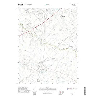
2019 Map of Woodstown
USGS Topo · Published 2019About this map
The Salem River and its numerous tributaries, including Nachomus Run and Chestnut Run, define the agricultural and residential landscape of this South Jersey region. Modern infrastructure like the New Jersey Tpke and N J Route 45 cuts through a legacy of older settlements and industrial sites such as Porches Mill and Dilkes Mills. Woodstown serves as a significant focal point, surrounded by a dense concentration of historical sites including the Friends Burying Ground, Lawnside Cem, and the Asbury United Methodist Church Cem. The map illustrates the persistence of small-town centers like Harrisonville, Auburn, and Sharptown against a backdrop of managed water bodies such as Memorial Lake and Lake Narraticon. This documentation reveals a landscape where aviation landmarks like Stallone Airport and Var-Sky Airport coexist with extensive cemeteries and veterans' memorials.
Find a feature on this map
48 named features on this map. Tap any name to fly to it.
Don’t see what you’re looking for? This feature index may not catch every label — zoom into the map to look around manually.
Map Details
Editions of this 2019 Woodstown Map
This is the sole edition of this map. No revisions or reprints were ever made.
Other maps of this area

1890 · Salem
USGS Topo · 1:62,500

1890 · Glassboro
USGS Topo · 1:62,500

1891 · Philadelphia
USGS Topo · 1:62,500

1894 · Chester
USGS Topo · 1:62,500

1894 · Philadelphia
USGS Topo · 1:62,500

1896 · Philadelphia
USGS Topo · 1:62,500

1896 · Chester
USGS Topo · 1:62,500

1898 · Salem
USGS Topo · 1:62,500

1898 · Glassboro
USGS Topo · 1:62,500

1898 · Chester
USGS Topo · 1:62,500