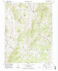
1994 Map of Woodville
USGS Topo · Published 1997About this map
Woodville and its surrounding rural hamlets are centered in a landscape of prominent peaks and river bottoms at the boundary of Rappahannock and Culpeper counties. This 1990s survey, grounded in 1959 imagery and verified for modern boundaries, shows the enduring settlement pattern of Virginia's Piedmont. The drainage of the Hazel River and Hughes River dictates the placement of crossroads like Slate Mills and Peola Mills, while numerous family-named peaks such as Slaughter Mtn, Fielding Mtn, and Rosser Mtn rise above the agricultural valley. Genealogists can trace localized landmarks and spiritual centers like Piedmont Ch and Mt Lebanon Ch, while more obscure locations like Hawlin and Scrabble appear alongside the upland ridges of Bessie Bell Mountain and Red Oak Mountain.
Find a feature on this map
38 named features on this map. Tap any name to fly to it.
Don’t see what you’re looking for? This feature index may not catch every label — zoom into the map to look around manually.
Map Details
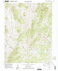
Editions of this 1994 Woodville Map
2 editions found
Other maps of this area

1892 · Gordonsville
USGS Topo · 1:125,000

1893 · Luray
USGS Topo · 1:125,000

1905 · Luray
USGS Topo · 1:125,000

1929 · Stony Man
USGS Topo · 1:48,000

1930 · Madison
USGS Topo · 1:48,000

1933 · Stony Man
USGS Topo · 1:62,500

1933 · Madison
USGS Topo · 1:62,500

1949 · Charlottesville
USGS Topo · 1:250,000

1956 · Charlottesville
USGS Topo · 1:250,000

1961 · Sperryville
USGS Topo · 1:62,500