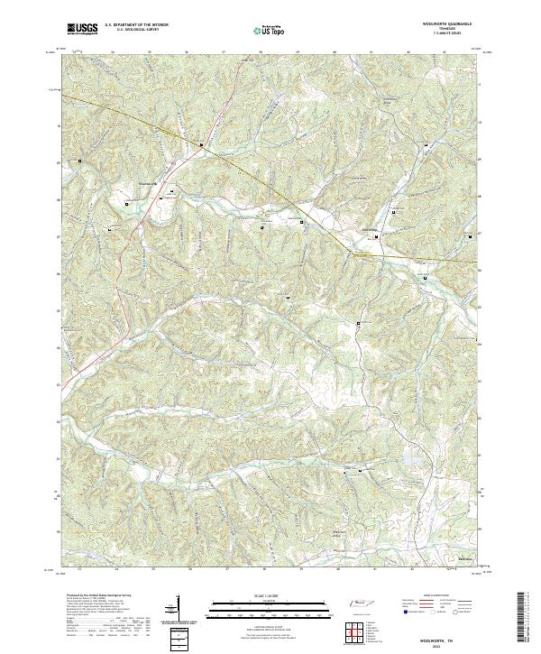
2022 Map of Woolworth
USGS Topo · Published 2022About this map
Woolworth and Silvertop anchor this survey of the Tennessee hill country, where the landscape is defined by a dense network of hollows and ridges along the Houston and Humphreys County line. The terrain is deeply dissected, with family-named hollows like Warden Hollow and Jackson Hollow draining into the waters of Whiteoak Creek and Big Richland Creek. This area maintains a strong connection to its 19th-century settlement patterns, evidenced by a remarkable density of small family and community burial grounds tucked into the draws. Genealogists and local historians can find the locations of the Batson, Cleghorn, and Sinks cemeteries near the Woolworth settlement, or trace the Tennessee Ridge divide that separates the watershed between the Tennessee and Cumberland river systems. Water sources such as Blowing Spring and Curtis Spring highlight the importance of groundwater in this dissected plateau.
Find a feature on this map
135 named features on this map. Tap any name to fly to it.
Don’t see what you’re looking for? This feature index may not catch every label — zoom into the map to look around manually.
Map Details
Editions of this 2022 Woolworth Map
This is the sole edition of this map. No revisions or reprints were ever made.
Other maps of this area

1931 · Erin
USGS Topo · 1:62,500

1936 · Gorman
USGS Topo · 1:24,000

1936 · Tantrough Hollow
USGS Topo · 1:24,000

1936 · Woolworth
USGS Topo · 1:24,000

1936 · Ruskin
USGS Topo · 1:24,000

1936 · Stewart
USGS Topo · 1:24,000

1936 · Halls Creek
USGS Topo · 1:24,000

1936 · Waverly
USGS Topo · 1:24,000

1936 · Tennessee City
USGS Topo · 1:24,000

1950 · Halls Creek
USGS Topo · 1:24,000