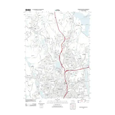
2012 Map of Worcester North
USGS Topo · Published 2012About this map
Wachusett Reservoir defines the northeastern corner of this 2012 survey, its shorelines reaching toward Pine Hill and Pleasant Valley. The landscape is a dense assembly of academic and medical institutions, including the University of Massachusetts Medical School and the Massachusetts Biotech Research Park, signaling the modern economic character of the region. This transition from natural water resources to high-tech infrastructure is visible in the corridor between Indian Lake and Lake Quinsigamond, where established neighborhoods like Greendale and Burncoat meet major transit arteries like I-190.
Find a feature on this map
101 named features on this map. Tap any name to fly to it.
Don’t see what you’re looking for? This feature index may not catch every label — zoom into the map to look around manually.
Map Details
Editions of this 2012 Worcester North Map
This is the sole edition of this map. No revisions or reprints were ever made.
Other maps of this area

1885 · Worcester
USGS Topo · 1:62,500

1886 · Worcester
USGS Topo · 1:62,500

1886 · Blackstone
USGS Topo · 1:62,500

1887 · Marlboro
USGS Topo · 1:62,500

1889 · Marlboro
USGS Topo · 1:62,500

1889 · Blackstone
USGS Topo · 1:62,500

1889 · Webster
USGS Topo · 1:62,500

1892 · Webster
USGS Topo · 1:62,500

1892 · Worcester
USGS Topo · 1:62,500

1893 · Blackstone
USGS Topo · 1:62,500