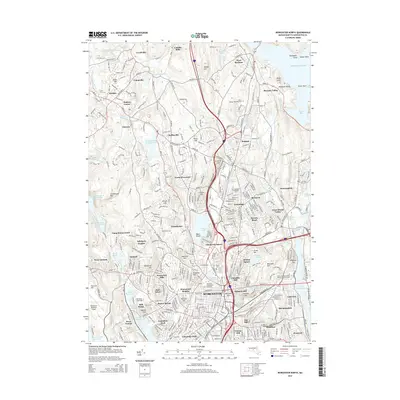
2015 Map of Worcester North
USGS Topo · Published 2015About this map
Worcester and its northern suburbs are characterized by a landscape of concentrated educational institutions and a series of hills and reservoirs. The area serves as a significant academic hub, featuring prominent campuses such as Assumption Coll, Clark Univ, Worcester Polytechnic Institute, and the Univ of Massachusetts Medical Sch Worcester. To the northwest, the town of Holden and the village of Holden Center are established along the historic transportation corridors of the Quinapoxet River and the local road network leading toward the Wachusett Reservoir.
Find a feature on this map
107 named features on this map. Tap any name to fly to it.
Don’t see what you’re looking for? This feature index may not catch every label — zoom into the map to look around manually.
Map Details
Editions of this 2015 Worcester North Map
This is the sole edition of this map. No revisions or reprints were ever made.
Other maps of this area

1885 · Worcester
USGS Topo · 1:62,500

1886 · Worcester
USGS Topo · 1:62,500

1886 · Blackstone
USGS Topo · 1:62,500

1887 · Marlboro
USGS Topo · 1:62,500

1889 · Marlboro
USGS Topo · 1:62,500

1889 · Blackstone
USGS Topo · 1:62,500

1889 · Webster
USGS Topo · 1:62,500

1892 · Webster
USGS Topo · 1:62,500

1892 · Worcester
USGS Topo · 1:62,500

1893 · Blackstone
USGS Topo · 1:62,500