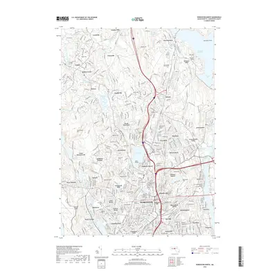
2018 Map of Worcester North
USGS Topo · Published 2018About this map
Worcester and its northern suburbs are defined by a complex landscape of early industrial settlements and modern academic hubs. Traditional manufacturing footprints at Canada Mills and Chaffinville sit alongside numerous colleges, including Assumption College and Worcester Polytechnic Institute. The eastern edge of the map is dominated by the Wachusett Reservoir and South Bay, providing a clear boundary to the dense neighborhoods of Greendale and Burncoat.
Find a feature on this map
103 named features on this map. Tap any name to fly to it.
Don’t see what you’re looking for? This feature index may not catch every label — zoom into the map to look around manually.
Map Details
Editions of this 2018 Worcester North Map
This is the sole edition of this map. No revisions or reprints were ever made.
Other maps of this area

1885 · Worcester
USGS Topo · 1:62,500

1886 · Worcester
USGS Topo · 1:62,500

1886 · Blackstone
USGS Topo · 1:62,500

1887 · Marlboro
USGS Topo · 1:62,500

1889 · Marlboro
USGS Topo · 1:62,500

1889 · Blackstone
USGS Topo · 1:62,500

1889 · Webster
USGS Topo · 1:62,500

1892 · Webster
USGS Topo · 1:62,500

1892 · Worcester
USGS Topo · 1:62,500

1893 · Blackstone
USGS Topo · 1:62,500