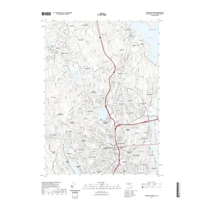
2021 Map of Worcester North
USGS Topo · Published 2021About this map
Worcester serves as the focal point of this survey, showcasing an expansive educational and civic landscape at the turn of the 2020s. The map highlights the city's dense academic corridor, featuring Worcester Polytechnic Institute, Worcester State University, and the University of Massachusetts Medical School Worcester Campus. Urban development is framed by the I-190 and I-290 corridors, which cut through older neighborhoods such as Greendale, Burncoat, and Beaver Brook.
Find a feature on this map
107 named features on this map. Tap any name to fly to it.
Don’t see what you’re looking for? This feature index may not catch every label — zoom into the map to look around manually.
Map Details
Editions of this 2021 Worcester North Map
This is the sole edition of this map. No revisions or reprints were ever made.
Other maps of this area

1885 · Worcester
USGS Topo · 1:62,500

1886 · Worcester
USGS Topo · 1:62,500

1886 · Blackstone
USGS Topo · 1:62,500

1887 · Marlboro
USGS Topo · 1:62,500

1889 · Marlboro
USGS Topo · 1:62,500

1889 · Blackstone
USGS Topo · 1:62,500

1889 · Webster
USGS Topo · 1:62,500

1892 · Webster
USGS Topo · 1:62,500

1892 · Worcester
USGS Topo · 1:62,500

1893 · Blackstone
USGS Topo · 1:62,500