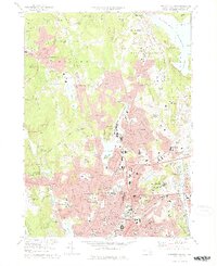
1974 Map of Worcester North
USGS Topo · Published 1976About this map
The urban core of Worcester and its northern satellite communities are captured here in the mid-1970s, showcasing a dense network of institutional and industrial growth. The landscape is defined by its educational and medical anchors, from Clark University and Worcester State College to the complex of hospitals including Hahnemann Hospital and the State Hospital. The city's northern expansion is evident in neighborhoods like Greendale and Salisbury Heights, while the outskirts retain pockets of older industry and rural character in settlements like Chaffinville, Jefferson, and Canada Mills.
Find a feature on this map
140 named features on this map. Tap any name to fly to it.
Don’t see what you’re looking for? This feature index may not catch every label — zoom into the map to look around manually.
Map Details
Editions of this 1974 Worcester North Map
2 editions found
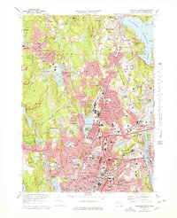
Other maps of this area

1885 · Worcester
USGS Topo · 1:62,500

1886 · Worcester
USGS Topo · 1:62,500

1886 · Blackstone
USGS Topo · 1:62,500

1887 · Marlboro
USGS Topo · 1:62,500

1889 · Marlboro
USGS Topo · 1:62,500

1889 · Blackstone
USGS Topo · 1:62,500

1889 · Webster
USGS Topo · 1:62,500

1892 · Webster
USGS Topo · 1:62,500

1892 · Worcester
USGS Topo · 1:62,500

1893 · Blackstone
USGS Topo · 1:62,500