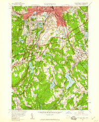
1948 Map of Worcester South
USGS Topo · Published 1959About this map
The industrial corridor of the Blackstone River anchors this 1948 survey, showing the dense settlement of South Worcester and the expanding infrastructure of southern Worcester County. The map captures a moment of transition as the New York New Haven and Hartford RR continues to serve established communities like Millbury and Auburn Sta, while newer developments like the Mass Turnpike and Windle Airport emerge on the landscape. This era is marked by a concentration of institutional and religious sites, including Holy Cross College and a significant cluster of burial grounds such as St Johns Cemetery, Hope Cemetery, and Bnai Brith Cem. The southern half of the sheet reveals a more varied hydraulic landscape, with major water bodies like Singletary Pond and Ramshorn Pond interspersed among numerous family-named hills and specialized sites like the Worcester Sewage Disposal Plant.
Find a feature on this map
92 named features on this map. Tap any name to fly to it.
Don’t see what you’re looking for? This feature index may not catch every label — zoom into the map to look around manually.
Map Details
Editions of this 1948 Worcester South Map
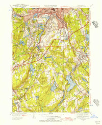
2 editions found
Other maps of this area

1885 · Worcester
USGS Topo · 1:62,500

1886 · Worcester
USGS Topo · 1:62,500

1886 · Blackstone
USGS Topo · 1:62,500

1887 · Marlboro
USGS Topo · 1:62,500

1889 · Marlboro
USGS Topo · 1:62,500

1889 · Blackstone
USGS Topo · 1:62,500

1889 · Webster
USGS Topo · 1:62,500

1892 · Webster
USGS Topo · 1:62,500

1892 · Worcester
USGS Topo · 1:62,500

1893 · Blackstone
USGS Topo · 1:62,500