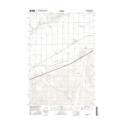
2017 Map of Worden
USGS Topo · Published 2017About this map
The Yellowstone River flows along the northern edge of this agricultural landscape, where the settlements of Worden and Ballantine serve as anchors for the local irrigation economy. The intricate network of the Huntley Main Canal and its various offshoots, such as the Huntley Canal Rd and Lower Canal Rd, define the land use patterns south of the river. This region demonstrates the intensive management of water in the high plains, with drainage features like Custer Coulee and Arrow Cr cutting through the terrain. Evidence of earlier transportation corridors is visible in the alignment of the Old Hwy 312 Railroad Rd, which connects the small community of Knox with the larger neighboring towns. The map captures a high-desert environment transformed by engineering, where gridded section lines meet the sinuous paths of irrigation ditches and ancient coulees.
Find a feature on this map
56 named features on this map. Tap any name to fly to it.
Don’t see what you’re looking for? This feature index may not catch every label — zoom into the map to look around manually.
Map Details
Editions of this 2017 Worden Map
This is the sole edition of this map. No revisions or reprints were ever made.
Other maps of this area

1893 · Huntley
USGS Topo · 1:125,000

1954 · Billings
USGS Topo · 1:250,000

1954 · Roundup
USGS Topo · 1:250,000

1956 · Huntley
USGS Topo · 1:24,000

1957 · Billings
USGS Topo · 1:250,000

1958 · Billings
USGS Topo · 1:250,000

1958 · Roundup
USGS Topo · 1:250,000

1967 · Nibbe
USGS Topo · 1:24,000

1967 · Worden
USGS Topo · 1:24,000

1967 · Cottonwood Creek
USGS Topo · 1:24,000