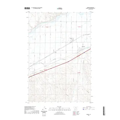
2020 Map of Worden
USGS Topo · Published 2020About this map
The Yellowstone River snakes across the northern reaches of this Yellowstone County landscape, where the agricultural valley meets the rising terrain of Custer Coulee and Cabin Cr. Irrigation is central to the development of this region, evidenced by the prominent course of the Huntley Main Canal and the network of service roads such as Huntley Canal Rd and Lower Canal Rd. These waterways parallel the historic transportation corridor of the Railroad Hwy, which anchors the small settlements of the area.
Find a feature on this map
60 named features on this map. Tap any name to fly to it.
Don’t see what you’re looking for? This feature index may not catch every label — zoom into the map to look around manually.
Map Details
Editions of this 2020 Worden Map
This is the sole edition of this map. No revisions or reprints were ever made.
Other maps of this area

1893 · Huntley
USGS Topo · 1:125,000

1954 · Billings
USGS Topo · 1:250,000

1954 · Roundup
USGS Topo · 1:250,000

1956 · Huntley
USGS Topo · 1:24,000

1957 · Billings
USGS Topo · 1:250,000

1958 · Billings
USGS Topo · 1:250,000

1958 · Roundup
USGS Topo · 1:250,000

1967 · Nibbe
USGS Topo · 1:24,000

1967 · Worden
USGS Topo · 1:24,000

1967 · Cottonwood Creek
USGS Topo · 1:24,000