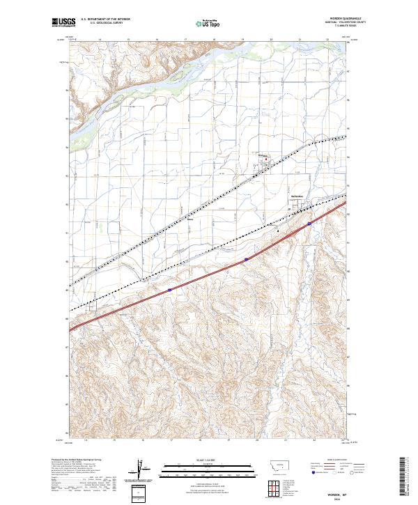
2024 Map of Worden
USGS Topo · Published 2024About this map
The Yellowstone River defines the northern reaches of this landscape, where the fertile bottomlands support the established communities of Worden and Ballantine. This region is a study in early 20th-century irrigation engineering, dominated by the winding course of the Huntley Main Canal and its associated Huntley Canal Rd, which were central to the agricultural development of the valley.
Find a feature on this map
64 named features on this map. Tap any name to fly to it.
Don’t see what you’re looking for? This feature index may not catch every label — zoom into the map to look around manually.
Map Details
Editions of this 2024 Worden Map
This is the sole edition of this map. No revisions or reprints were ever made.
Other maps of this area

1893 · Huntley
USGS Topo · 1:125,000

1954 · Billings
USGS Topo · 1:250,000

1954 · Roundup
USGS Topo · 1:250,000

1956 · Huntley
USGS Topo · 1:24,000

1957 · Billings
USGS Topo · 1:250,000

1958 · Billings
USGS Topo · 1:250,000

1958 · Roundup
USGS Topo · 1:250,000

1967 · Nibbe
USGS Topo · 1:24,000

1967 · Worden
USGS Topo · 1:24,000

1967 · Cottonwood Creek
USGS Topo · 1:24,000