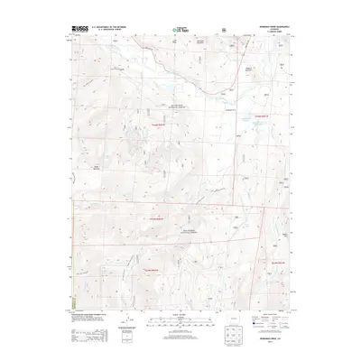
2013 Map of Workman Creek
USGS Topo · Published 2013About this map
Rio Grande headwaters and alpine drainage basins define this portion of the Rio Grande National Forest along the Hinsdale and Mineral county line. The landscape is characterized by high-elevation hydrology, featuring a dense network of streams like Workman Cr, Cliff Cr, and Trout Cr that feed into significant reservoirs and mountain lakes. Man-made water management is evident at Meadow Lake Reservoir and Sowards Reservoir Number 4, while natural features like Birdsie Warm Spring and the geologically distinct Rhodas Arch highlight the area's varied environmental character. The map documents an extensive trail system including the Fern Creek Trail and Trout Creek Trail, which provide access to the remote backcountry of Baldy Mountain and Antelope Park. This 2013 survey serves as a precise record of the regional forest infrastructure and resource management just before mid-decade changes in federal land data standards.
Find a feature on this map
42 named features on this map. Tap any name to fly to it.
Don’t see what you’re looking for? This feature index may not catch every label — zoom into the map to look around manually.
Map Details
Editions of this 2013 Workman Creek Map
This is the sole edition of this map. No revisions or reprints were ever made.
Other maps of this area

1905 · San Cristobal
USGS Topo · 1:125,000

1907 · San Cristobal
USGS Topo · 1:125,000

1914 · Creede
USGS Topo · 1:125,000

1916 · Creede
USGS Topo · 1:125,000

1945 · Durango
USGS Topo · 1:250,000

1953 · Durango
USGS Topo · 1:250,000

1954 · Durango
USGS Topo · 1:250,000

1957 · Spar City
USGS Topo · 1:62,500

1959 · Creede
USGS Topo · 1:62,500

1959 · Bristol Head
USGS Topo · 1:62,500