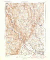
1942 Map of Woronoco
USGS Topo · Published 1942About this map
The Westfield River carves a deep valley through this part of the Berkshires, dictating the development of industrial hamlets and transport corridors. At Woronoco and Crescent Mills, the river’s power supported local industry while the Boston and Albany Railroad provided the vital connection to larger markets. This geography creates a sharp contrast between the densely settled river bottom and the upland plateaus, where scattered communities like Montgomery and Wyben remain centered around rural institutions like the Montgomery Ch and Wyben Chapel.
Find a feature on this map
75 named features on this map. Tap any name to fly to it.
Don’t see what you’re looking for? This feature index may not catch every label — zoom into the map to look around manually.
Map Details
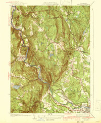
Editions of this 1942 Woronoco Map
2 editions found
Other maps of this area

1885 · Northampton
USGS Topo · 1:62,500

1886 · Springfield
USGS Topo · 1:62,500

1886 · Chesterfield
USGS Topo · 1:62,500

1886 · Northampton
USGS Topo · 1:62,500

1887 · Granville
USGS Topo · 1:62,500

1888 · Chesterfield
USGS Topo · 1:62,500

1889 · Springfield
USGS Topo · 1:62,500

1889 · Granville
USGS Topo · 1:62,500

1891 · Northampton
USGS Topo · 1:62,500

1893 · Northampton
USGS Topo · 1:62,500