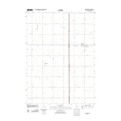
2012 Map of Worthing
USGS Topo · Published 2012About this map
Worthing anchors this Lincoln County landscape, showing the town's grid and residential footprint during the early 21st century. The surrounding agricultural terrain is methodically partitioned by an extensive network of range and section line roads, including 472nd Ave and 278th St. Local history and genealogy are well-represented by several burial sites, such as the Worthing Cem on the town's edge, Saint Edwards Cem, and Lennox Cem located along Mt Olivet Cemetery Rd. The map reveals a managed hydrologic system designed for prairie farming, evidenced by named channels like Ditch Number 14 and Ditch Number Eight that supplement natural watercourses like Snake Cr. The inclusion of the Skie Air Service Landing Field highlights the area's continued reliance on local aviation infrastructure alongside its traditional rural roots.
Find a feature on this map
34 named features on this map. Tap any name to fly to it.
Don’t see what you’re looking for? This feature index may not catch every label — zoom into the map to look around manually.
Map Details
Editions of this 2012 Worthing Map
This is the sole edition of this map. No revisions or reprints were ever made.
Other maps of this area

1897 · Canton
USGS Topo · 1:125,000

1900 · Canton
USGS Topo · 1:125,000

1955 · Sioux Falls
USGS Topo · 1:250,000

1958 · Sioux Falls
USGS Topo · 1:250,000

1962 · Harrisburg
USGS Topo · 1:24,000

1962 · Tea
USGS Topo · 1:24,000

1962 · Lennox NW
USGS Topo · 1:24,000

1964 · Canton SW
USGS Topo · 1:24,000

1964 · Worthing
USGS Topo · 1:24,000

1964 · Lennox
USGS Topo · 1:24,000