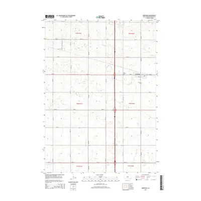
2015 Map of Worthing
USGS Topo · Published 2015About this map
Worthing anchors this 2015 survey of South Dakota's prairie landscape, situated near the intersection of 280th St and the modern interstate corridor. The town's local history is anchored by Worthing Cem and Saint Edwards Cem, while to the west, Lennox Cem sits just off Mt Olivet Cemetery Rd. The terrain is defined by a sophisticated water management network necessary for regional agriculture, featuring Ditch Number 14, Ditch Number Four, and Ditch Number Eight. Natural waterways like Beaver Cr and Snake Cr meander through the township lines, including t98n r50w and t99n r51w. This map captures the geometric precision of the Great Plains' section lines, where county roads like 470th Ave form a rigid grid over the hydrologic basin of Lake Albert.
Find a feature on this map
34 named features on this map. Tap any name to fly to it.
Don’t see what you’re looking for? This feature index may not catch every label — zoom into the map to look around manually.
Map Details
Editions of this 2015 Worthing Map
This is the sole edition of this map. No revisions or reprints were ever made.
Other maps of this area

1897 · Canton
USGS Topo · 1:125,000

1900 · Canton
USGS Topo · 1:125,000

1955 · Sioux Falls
USGS Topo · 1:250,000

1958 · Sioux Falls
USGS Topo · 1:250,000

1962 · Harrisburg
USGS Topo · 1:24,000

1962 · Tea
USGS Topo · 1:24,000

1962 · Lennox NW
USGS Topo · 1:24,000

1964 · Canton SW
USGS Topo · 1:24,000

1964 · Worthing
USGS Topo · 1:24,000

1964 · Lennox
USGS Topo · 1:24,000