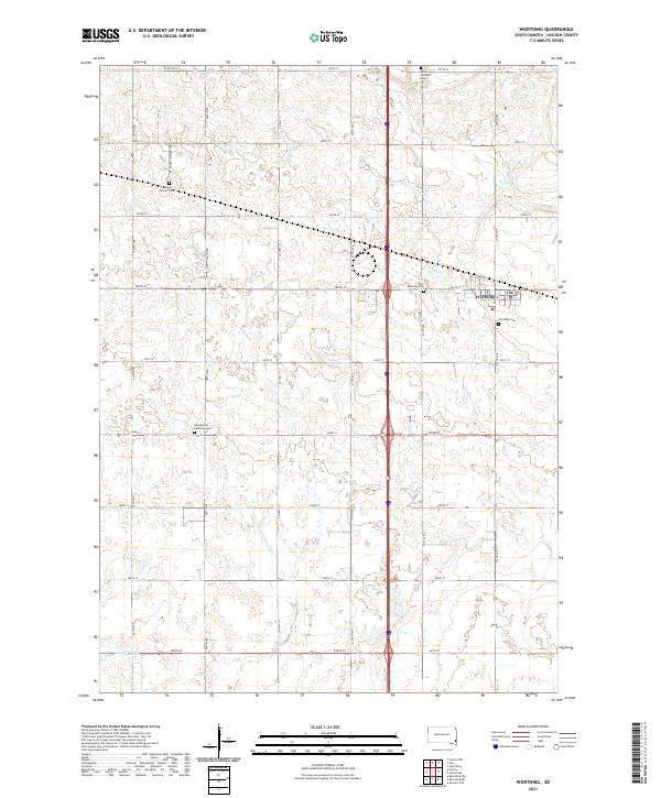
2021 Map of Worthing
USGS Topo · Published 2021About this map
Worthing anchors the eastern edge of this Lincoln County landscape, showing its modern residential layout and the nearby Worthing Cem. The surrounding terrain is defined by a sophisticated water management system, including Ditch Number 14, Ditch Number Four, and Ditch Number Eight, which drain the agricultural prairie into natural watercourses like Beaver Cr and Snake Cr.
Find a feature on this map
36 named features on this map. Tap any name to fly to it.
Don’t see what you’re looking for? This feature index may not catch every label — zoom into the map to look around manually.
Map Details
Editions of this 2021 Worthing Map
This is the sole edition of this map. No revisions or reprints were ever made.
Other maps of this area

1897 · Canton
USGS Topo · 1:125,000

1900 · Canton
USGS Topo · 1:125,000

1955 · Sioux Falls
USGS Topo · 1:250,000

1958 · Sioux Falls
USGS Topo · 1:250,000

1962 · Harrisburg
USGS Topo · 1:24,000

1962 · Tea
USGS Topo · 1:24,000

1962 · Lennox NW
USGS Topo · 1:24,000

1964 · Canton SW
USGS Topo · 1:24,000

1964 · Worthing
USGS Topo · 1:24,000

1964 · Lennox
USGS Topo · 1:24,000