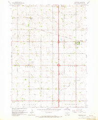
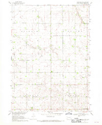
1964 Map of Worthing
USGS Topo · Published 1965About this map
The town of Worthing serves as a focal point in this mid-1960s survey of South Dakota's eastern prairie, where the Chicago Milwaukee St Paul And Pacific railroad and Interstate 29 intersect the rural grid. This landscape is a dense network of one-room schoolhouses and country churches, indicating a high level of community distribution before the era of widespread school consolidation. Educational sites like Sherman Sch, Miller Sch, and Bennett Sch are spaced across the townships of Perry, Grant, and Lynn.
Find a feature on this map
30 named features on this map. Tap any name to fly to it.
Don’t see what you’re looking for? This feature index may not catch every label — zoom into the map to look around manually.
Map Details
Editions of this 1964 Worthing Map
This is the sole edition of this map. No revisions or reprints were ever made.
Other maps of this area
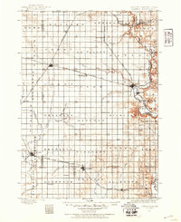
1897 · Canton
USGS Topo · 1:125,000
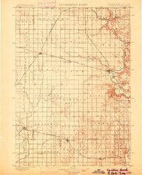
1900 · Canton
USGS Topo · 1:125,000

1955 · Sioux Falls
USGS Topo · 1:250,000

1958 · Sioux Falls
USGS Topo · 1:250,000
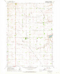
1962 · Harrisburg
USGS Topo · 1:24,000
1962 · Tea
USGS Topo · 1:24,000
1962 · Lennox NW
USGS Topo · 1:24,000
1964 · Canton SW
USGS Topo · 1:24,000
1964 · Lennox
USGS Topo · 1:24,000
1968 · Alcester NW
USGS Topo · 1:24,000