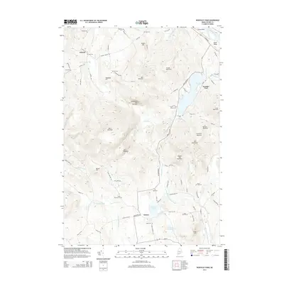
2014 Map of Worthley Pond
USGS Topo · Published 2014About this map
Worthley Pond and its surrounding highlands define this corner of Oxford County, where the village of Dickvale sits along Spears Stream and Sumner anchors the southern valley. The landscape is marked by a high density of small family and local cemeteries, such as Byron Cem, Knox Cem, and Glover Young Cem, providing a detailed record of the area's ancestral settlements. These burial sites are scattered from the slopes of Black Mountain to the banks of the East Branch Nezinscot River.
Find a feature on this map
91 named features on this map. Tap any name to fly to it.
Don’t see what you’re looking for? This feature index may not catch every label — zoom into the map to look around manually.
Map Details
Editions of this 2014 Worthley Pond Map
This is the sole edition of this map. No revisions or reprints were ever made.
Other maps of this area

1911 · Bryant Pond
USGS Topo · 1:62,500

1911 · Buckfield
USGS Topo · 1:62,500

1913 · Buckfield
USGS Topo · 1:62,500

1914 · Bryant Pond
USGS Topo · 1:62,500

1926 · Dixfield
USGS Topo · 1:62,500

1927 · Rumford
USGS Topo · 1:48,000

1929 · Dixfield
USGS Topo · 1:62,500

1930 · Rumford
USGS Topo · 1:62,500

1942 · Buckfield
USGS Topo · 1:62,500

1942 · Bryant Pond
USGS Topo · 1:62,500