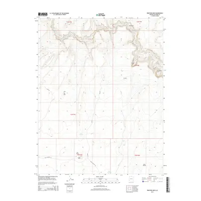
2014 Map of Wrather Arch
USGS Topo · Published 2014About this map
Wrather Arch and the surrounding canyonlands of Coconino County define this arid landscape during the early 21st century. The Paria River winds through the northern section of the map, carving deep into the terrain at Judd Hollow and Paria Canyon. This survey documents a region defined by dramatic geological formations and essential water management for ranching or land use, evidenced by the presence of the Middle Reservoir, Lower Reservoir, and Lynn Tank.
Find a feature on this map
21 named features on this map. Tap any name to fly to it.
Don’t see what you’re looking for? This feature index may not catch every label — zoom into the map to look around manually.
Map Details
Editions of this 2014 Wrather Arch Map
This is the sole edition of this map. No revisions or reprints were ever made.
Other maps of this area

1886 · Escalante
USGS Topo · 1:250,000

1886 · Echo Cliffs
USGS Topo · 1:250,000

1891 · Echo Cliffs
USGS Topo · 1:250,000

1953 · Nipple Butte
USGS Topo · 1:62,500

1954 · Lees Ferry NW
USGS Topo · 1:24,000

1954 · Paria Plateau SE
USGS Topo · 1:24,000

1954 · Paria Plateau NW
USGS Topo · 1:24,000

1954 · Paria Plateau SW
USGS Topo · 1:24,000

1954 · Lees Ferry SW
USGS Topo · 1:24,000

1954 · Lees Ferry
USGS Topo · 1:62,500