
1954 Map of Lees Ferry
USGS Topo · Published 1956About this map
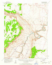
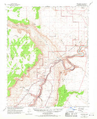
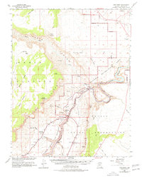
Lees Ferry (Site) occupies a vital crossing point where the Paria River meets the Colorado River, serving as a gateway between the Navajo Indian Reservation and the high desert plateaus. This mid-century survey captures the area before the massive changes of the downstream dam era, documenting the remote outposts of Marble Canyon and the Vermilion Cliffs Lodge. The landscape is dominated by massive geological formations including the Vermilion Cliffs and Echo Cliffs, which channel travel through specific corridors like Shed Valley and Horse Valley. Water remains the primary concern for any inhabitant or traveler in this arid region, evidenced by the meticulous mapping of Water Pockets, Thousand Pockets, and Navajo Spring. Historic navigation and transit are marked by the Ferry Swale and a remote Landing Strip near the river’s edge.
Find a feature on this map
36 named features on this map. Tap any name to fly to it.
Don’t see what you’re looking for? This feature index may not catch every label — zoom into the map to look around manually.
Map Details
Editions of this 1954 Lees Ferry Map
4 editions found
Other maps of this area

1886 · Escalante
USGS Topo · 1:250,000

1886 · Echo Cliffs
USGS Topo · 1:250,000

1891 · Echo Cliffs
USGS Topo · 1:250,000

1922 · Warm Creek
USGS Topo · 1:63,360

1951 · Lees Ferry NE
USGS Topo · 1:24,000

1953 · Nipple Butte
USGS Topo · 1:62,500

1953 · Gunsight Butte
USGS Topo · 1:62,500

1954 · Lees Ferry NW
USGS Topo · 1:24,000

1954 · Emmett Wash NE
USGS Topo · 1:24,000

1954 · Paria Plateau SE
USGS Topo · 1:24,000