
1953 Map of Gunsight Butte
USGS Topo · Published 1956About this map
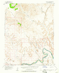
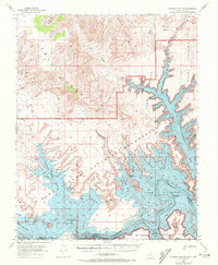
The Colorado River carves a deep, winding path through this corner of Kane and San Juan Counties in the early 1950s, long before the construction of Glen Canyon Dam altered the landscape forever. The map captures the river's original course at the Crossing of the Fathers, a site of profound historical significance where Spanish explorers once traversed the waters. This pre-inundation perspective reveals the intricate canyon systems of Gunsight Canyon and Croton Canyon as they were before the reservoir was filled.
Find a feature on this map
25 named features on this map. Tap any name to fly to it.
Don’t see what you’re looking for? This feature index may not catch every label — zoom into the map to look around manually.
Map Details
Editions of this 1953 Gunsight Butte Map
3 editions found
Other maps of this area

1886 · Escalante
USGS Topo · 1:250,000

1886 · Echo Cliffs
USGS Topo · 1:250,000

1891 · Echo Cliffs
USGS Topo · 1:250,000

1922 · Warm Creek
USGS Topo · 1:63,360

1922 · Upper Last Chance
USGS Topo · 1:63,360

1922 · Rees Canyon
USGS Topo · 1:63,360

1951 · Lees Ferry NE
USGS Topo · 1:24,000

1953 · Cummings Mesa
USGS Topo · 1:62,500

1953 · Nipple Butte
USGS Topo · 1:62,500

1954 · Leche-E Rock
USGS Topo · 1:62,500