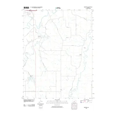
2009 Map of Wreford
USGS Topo · Published 2009About this map
Wreford sits at the heart of this Geary County landscape, where the Smoky Hill River winds through the northern reaches. The area is defined by a dense network of watercourses, including the long paths of Lyon Creek and Clarks Creek, which dictate the placement of local thoroughfares like Clarks Creek Rd and Lyon Creek Rd. In the southwest corner, the Geary County State Lake and its corresponding Geary County State Lake Dam serve as a significant local landmark and recreational anchor.
Find a feature on this map
34 named features on this map. Tap any name to fly to it.
Don’t see what you’re looking for? This feature index may not catch every label — zoom into the map to look around manually.
Map Details
Editions of this 2009 Wreford Map
This is the sole edition of this map. No revisions or reprints were ever made.
Other maps of this area

1886 · Junction City
USGS Topo · 1:125,000

1889 · Junction City
USGS Topo · 1:125,000

1889 · Parkerville
USGS Topo · 1:125,000

1894 · Junction City
USGS Topo · 1:125,000

1894 · Parkerville
USGS Topo · 1:125,000

1947 · Manhattan
USGS Topo · 1:62,500

1947 · Fort Riley
USGS Topo · 1:62,500

1950 · Junction City
USGS Topo · 1:24,000

1950 · Alida
USGS Topo · 1:24,000

1951 · Ogden
USGS Topo · 1:24,000