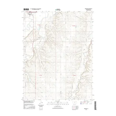
2015 Map of Wreford
USGS Topo · Published 2015About this map
Junction City anchors the northwest corner of this Geary County landscape, where the Smoky Hill River winds through a valley defined by significant watercourse confluences. The small settlement of Wreford sits at the junction of E Lyons Creek Rd and Otter Creek Rd, illustrating the rural transport network south of the city. The area's agricultural and family heritage is preserved through several small burial grounds, including Wetzel Cem, Salchow Cem, and Skiddy Cem, which are scattered among the ridges and draws.
Find a feature on this map
41 named features on this map. Tap any name to fly to it.
Don’t see what you’re looking for? This feature index may not catch every label — zoom into the map to look around manually.
Map Details
Editions of this 2015 Wreford Map
This is the sole edition of this map. No revisions or reprints were ever made.
Other maps of this area

1886 · Junction City
USGS Topo · 1:125,000

1889 · Junction City
USGS Topo · 1:125,000

1889 · Parkerville
USGS Topo · 1:125,000

1894 · Junction City
USGS Topo · 1:125,000

1894 · Parkerville
USGS Topo · 1:125,000

1947 · Manhattan
USGS Topo · 1:62,500

1947 · Fort Riley
USGS Topo · 1:62,500

1950 · Junction City
USGS Topo · 1:24,000

1950 · Alida
USGS Topo · 1:24,000

1951 · Ogden
USGS Topo · 1:24,000