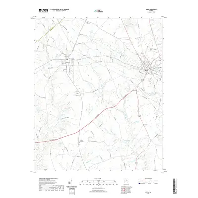
2020 Map of Wrens
USGS Topo · Published 2020About this map
The town of Wrens serves as a primary hub in this Jefferson County landscape, where the local economy and geography are defined by a network of creeks and legacy mill sites. The eastern portion of the map is anchored by the Wrens Memorial Airport and the local Wrens Cem, while the town of Stapleton sits to the northwest, characterized by its grid of residential streets like E Main St and Maple St.
Find a feature on this map
131 named features on this map. Tap any name to fly to it.
Don’t see what you’re looking for? This feature index may not catch every label — zoom into the map to look around manually.
Map Details
Editions of this 2020 Wrens Map
This is the sole edition of this map. No revisions or reprints were ever made.
Other maps of this area

1920 · Stapleton
USGS Topo · 1:62,500

1922 · Harlem
USGS Topo · 1:62,500

1948 · Harlem
USGS Topo · 1:62,500

1948 · Stapleton
USGS Topo · 1:62,500

1948 · Louisville
USGS Topo · 1:24,000

1950 · Louisville
USGS Topo · 1:24,000

1950 · Wrens
USGS Topo · 1:24,000

1950 · Matthews
USGS Topo · 1:24,000
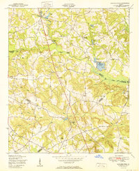
1950 · Bowdens Pond
USGS Topo · 1:24,000

1950 · Kellys Pond
USGS Topo · 1:24,000