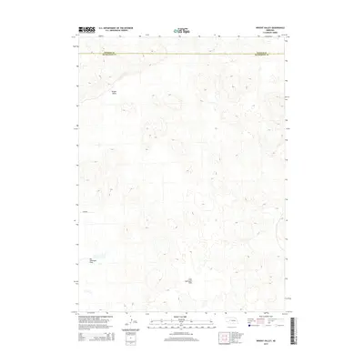
2014 Map of Wright Valley
USGS Topo · Published 2014About this map
Wright Valley characterizes the rolling landscape of this portion of the Nebraska Sandhills, where the topography is defined by significant depressions and elevated dunes. In the southern reach of the quadrangle, the terrain opens into the expansive Big Lamunyon Flats and its counterpart, Little Lamunyon Flats. These alkaline flats are characteristic of the region's unique hydrology, often representing seasonal wetlands or meadows amidst the surrounding hills. Near the western boundary, the label Huffman identifies a specific locality within this sparsely settled cattle country. The map also delineates the jurisdictional boundary between Hooker County and McPherson County, providing a clear record of the high plains ranching territory as it appeared in the early 21st century.
Find a feature on this map
5 named features on this map. Tap any name to fly to it.
Don’t see what you’re looking for? This feature index may not catch every label — zoom into the map to look around manually.
Map Details
Editions of this 2014 Wright Valley Map
This is the sole edition of this map. No revisions or reprints were ever made.
Other maps of this area

1947 · Dismal River Ranch
USGS Topo · 1:62,500

1948 · Carr Lake
USGS Topo · 1:62,500

1949 · Dismal River Ranch
USGS Topo · 1:62,500

1949 · Flats
USGS Topo · 1:62,500

1949 · Wright Valley
USGS Topo · 1:62,500

1950 · Flats
USGS Topo · 1:62,500

1950 · Carr Lake
USGS Topo · 1:62,500

1951 · Wright Valley
USGS Topo · 1:62,500

1954 · North Platte
USGS Topo · 1:250,000

1956 · North Platte
USGS Topo · 1:250,000