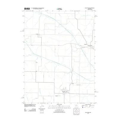
2012 Map of Wyaconda
USGS Topo · Published 2012About this map
The town of Wyaconda serves as the focal point for this Clark County landscape, where the town grid is defined by Madison St and Clark St near the local water infrastructure. The surrounding countryside is heavily shaped by the legacy of the river, with the meandering paths of the Old Channel North Wyaconda River and Old Channel South Wyaconda River still clearly legible across the terrain. These ancient watercourses, along with tributaries like Musko Branch and Sand Branch, define the agricultural boundaries of the region.
Find a feature on this map
26 named features on this map. Tap any name to fly to it.
Don’t see what you’re looking for? This feature index may not catch every label — zoom into the map to look around manually.
Map Details
Editions of this 2012 Wyaconda Map
This is the sole edition of this map. No revisions or reprints were ever made.
Other maps of this area

1903 · Kahoka
USGS Topo · 1:125,000

1903 · Edina
USGS Topo · 1:125,000

1950 · Neeper
USGS Topo · 1:24,000

1950 · Medill
USGS Topo · 1:24,000

1950 · Colony
USGS Topo · 1:24,000

1951 · Colony
USGS Topo · 1:24,000

1951 · Neeper
USGS Topo · 1:24,000

1951 · Medill
USGS Topo · 1:24,000

1951 · Wyaconda
USGS Topo · 1:24,000

1954 · Centerville
USGS Topo · 1:250,000