
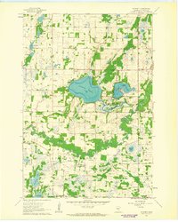
1961 Map of Wyanett
USGS Topo · Published 1963About this map
The Rum River meanders through the southern half of this Isanti County landscape, carving a complex path of oxbows and wetlands before it passes West Point. The era’s rural character is defined by several distinct townships including Wyanett and Spencer Brook, where family and community heritage is anchored by a high density of small cemeteries like Old Wyanett Free Cem, King Cem, and Clough Cem.
Find a feature on this map
31 named features on this map. Tap any name to fly to it.
Don’t see what you’re looking for? This feature index may not catch every label — zoom into the map to look around manually.
Map Details
Editions of this 1961 Wyanett Map
2 editions found
Other maps of this area

1916 · St. Francis
USGS Topo · 1:62,500

1919 · St. Francis
USGS Topo · 1:62,500

1953 · Stillwater
USGS Topo · 1:250,000

1955 · Stillwater
USGS Topo · 1:250,000

1958 · Stillwater
USGS Topo · 1:250,000

1961 · Bradford
USGS Topo · 1:24,000

1961 · Lake Fremont
USGS Topo · 1:24,000

1961 · Springvale
USGS Topo · 1:24,000

1961 · Dalbo
USGS Topo · 1:24,000

1961 · Elk River
USGS Topo · 1:62,500