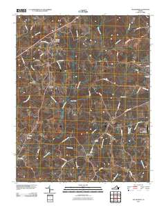
2010 Map of Wylliesburg
USGS Topo · Published 2010About this map
Wylliesburg and the surrounding rural landscapes of Charlotte County are defined by a network of crossroad settlements and meandering creek branches. This survey highlights the spatial relationship between historic community hubs like Red Oak and Spanish Grove and the primary transportation corridors of the era. The presence of both the Wylliesburg Post Office and the Red Oak Post Office indicates these locations served as central points for local commerce and communication.
Find a feature on this map
52 named features on this map. Tap any name to fly to it.
Don’t see what you’re looking for? This feature index may not catch every label — zoom into the map to look around manually.
Map Details
Editions of this 2010 Wylliesburg Map
This is the sole edition of this map. No revisions or reprints were ever made.
Other maps of this area

1941 · Clarksville
USGS Topo · 1:48,000

1943 · Clarksville
USGS Topo · 1:62,500

1953 · Greensboro
USGS Topo · 1:250,000

1954 · Greensboro
USGS Topo · 1:250,000

1954 · Clover
USGS Topo · 1:62,500

1955 · Chase City
USGS Topo · 1:62,500

1955 · Boydton
USGS Topo · 1:62,500

1957 · Clarksville
USGS Topo · 1:62,500

1962 · Greensboro
USGS Topo · 1:250,000

1966 · Greensboro
USGS Topo · 1:250,000