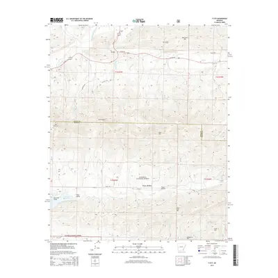
2014 Map of Y City
USGS Topo · Published 2014About this map
Y City serves as the focal point of this 2014 survey, positioned where US Hwy 71 and US Hwy 270 meet in the northern reaches of the Ouachita National Forest. The landscape is dominated by significant ridgelines including Mill Creek Mtn and Fourche Mtn, which define the drainage basins for the Fourche La Fave River and its various tributaries. This topographic study captures the high-elevation terrain of the Arkansas highlands, specifically the intersection of the Scott County and Polk County borders.
Find a feature on this map
42 named features on this map. Tap any name to fly to it.
Don’t see what you’re looking for? This feature index may not catch every label — zoom into the map to look around manually.
Map Details
Editions of this 2014 Y City Map
This is the sole edition of this map. No revisions or reprints were ever made.
Other maps of this area

1879 · Poteau Mountain
USGS Topo · 1:62,500

1887 · Poteau Mountain #1
USGS Topo · 1:62,500

1887 · Mount Ida #2
USGS Topo · 1:62,500

1890 · Mount Ida
USGS Topo · 1:125,000

1890 · Poteau Mountain
USGS Topo · 1:125,000

1899 · Poteau Mountain
USGS Topo · 1:125,000

1939 · Waldron
USGS Topo · 1:62,500

1940 · Waldron
USGS Topo · 1:62,500

1941 · Waldron
USGS Topo · 1:62,500

1949 · Waldron
USGS Topo · 1:62,500