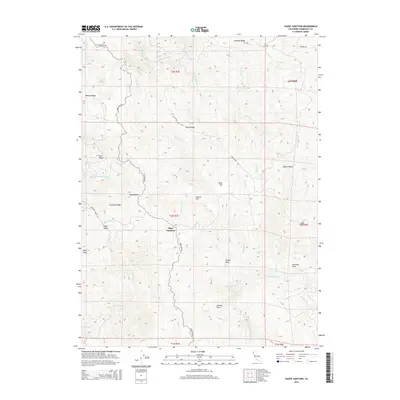
2015 Map of Yager Junction
USGS Topo · Published 2015About this map
Yager Junction sits at a critical confluence of geography and transportation in Humboldt County, where the rugged terrain of northern California meets the headwaters of several significant drainages. The landscape is defined by its dramatic ridges and peaks, most notably Humsted Ridge, Bohana Ridge, and Bald Jesse. This 2015 survey illustrates how Kneeland Rd serves as the primary artery through this territory, winding through high-elevation areas like Dairy Ridge and passing landmarks such as Pigeon Rock and Hansen Hill.
Find a feature on this map
46 named features on this map. Tap any name to fly to it.
Don’t see what you’re looking for? This feature index may not catch every label — zoom into the map to look around manually.
Map Details
Editions of this 2015 Yager Junction Map
This is the sole edition of this map. No revisions or reprints were ever made.
Other maps of this area

1914 · Pilot Creek
USGS Topo · 1:62,500

1915 · Big Bar and Vicinity
USGS Topo · 1:250,000

1921 · Dyerville
USGS Topo · 1:62,500

1922 · Kneeland
USGS Topo · 1:62,500

1949 · Blocksburg
USGS Topo · 1:62,500

1949 · Weott
USGS Topo · 1:62,500

1950 · Iaqua Buttes
USGS Topo · 1:62,500

1951 · Weott
USGS Topo · 1:62,500

1951 · Blocksburg
USGS Topo · 1:62,500

1951 · Pilot Creek
USGS Topo · 1:62,500