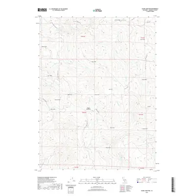
2018 Map of Yager Junction
USGS Topo · Published 2018About this map
The rugged timberlands of Yager Junction are defined by the convergence of steep ridgelines and the complex drainage system of the Van Duzen River watershed. This 2018 survey illustrates the significant role of the timber industry in the topography, with the Pacific Lumber Company Rd winding through the hills alongside public routes like Showers Pass Rd. The landscape is a series of named elevations and depressions, ranging from the high points of Humsted Ridge and Bohana Ridge down to the secluded basins of Harts Valley and Coyote Valley. Distinctive geological markers such as Palace Rock, Pigeon Rock, and Chimney Rock serve as landmarks within this dense terrain. The map also traces the network of creeks feeding the river system, including the N Fork Yager Cr, Middle Fork Yager Cr, and S Fork Yager Cr.
Find a feature on this map
80 named features on this map. Tap any name to fly to it.
Don’t see what you’re looking for? This feature index may not catch every label — zoom into the map to look around manually.
Map Details
Editions of this 2018 Yager Junction Map
This is the sole edition of this map. No revisions or reprints were ever made.
Other maps of this area

1914 · Pilot Creek
USGS Topo · 1:62,500

1915 · Big Bar and Vicinity
USGS Topo · 1:250,000

1921 · Dyerville
USGS Topo · 1:62,500

1922 · Kneeland
USGS Topo · 1:62,500

1949 · Blocksburg
USGS Topo · 1:62,500

1949 · Weott
USGS Topo · 1:62,500

1950 · Iaqua Buttes
USGS Topo · 1:62,500

1951 · Weott
USGS Topo · 1:62,500

1951 · Blocksburg
USGS Topo · 1:62,500

1951 · Pilot Creek
USGS Topo · 1:62,500