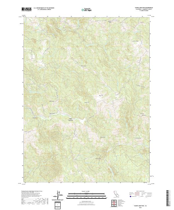
2022 Map of Yager Junction
USGS Topo · Published 2022About this map
Yager Junction sits as a central point in this part of Humboldt County, where numerous drainages and ridge lines converge. The landscape is defined by the complex hydrography of the Van Duzen River and its many tributaries, including N Fork Yager Cr and S Fork Yager Cr. Timber and ranching heritage is implied by the presence of the Pacific Lambert Company Rd and features like Dairy Ridge. The terrain transitions from broad flats and valleys, such as Bone Flat and Yager Valley, to prominent landmarks including Bald Jesse, Pigeon Rock, and Chimney Rock. Access through this backcountry is primarily provided by Showers Pass Rd and Redwood House Rd, which follow the contours of the high ridges.
Find a feature on this map
47 named features on this map. Tap any name to fly to it.
Don’t see what you’re looking for? This feature index may not catch every label — zoom into the map to look around manually.
Map Details
Editions of this 2022 Yager Junction Map
This is the sole edition of this map. No revisions or reprints were ever made.
Other maps of this area

1914 · Pilot Creek
USGS Topo · 1:62,500

1915 · Big Bar and Vicinity
USGS Topo · 1:250,000

1921 · Dyerville
USGS Topo · 1:62,500

1922 · Kneeland
USGS Topo · 1:62,500

1949 · Blocksburg
USGS Topo · 1:62,500

1949 · Weott
USGS Topo · 1:62,500

1950 · Iaqua Buttes
USGS Topo · 1:62,500

1951 · Weott
USGS Topo · 1:62,500

1951 · Blocksburg
USGS Topo · 1:62,500

1951 · Pilot Creek
USGS Topo · 1:62,500