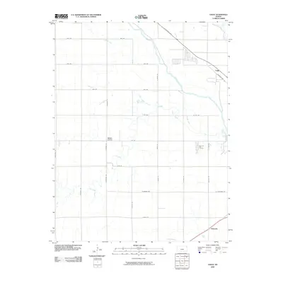
2009 Map of Yaggy
USGS Topo · Published 2009About this map
The Arkansas River winds through this central Kansas landscape, defining a riparian corridor through Reno County. The terrain is a network of drainage ways and intermittent streams, including Slough Creek, Salt Creek, and Dry Creek, which cut across a strictly surveyed grid of county roads. Small settlements and rural junctions like Yaggy, Adams Corner, and Whiteside anchor the agricultural area, showing the persistent pattern of habitation in the early 21st century. Along the eastern edge, Memorial Park Cemetery serves as a significant local landmark. This 2009 survey by the U.S. Geological Survey provides a precise view of the hydrology and transportation infrastructure, such as W Nickerson Blvd and the various avenues that facilitate the movement of goods and people through this plains environment.
Find a feature on this map
34 named features on this map. Tap any name to fly to it.
Don’t see what you’re looking for? This feature index may not catch every label — zoom into the map to look around manually.
Map Details
Editions of this 2009 Yaggy Map
This is the sole edition of this map. No revisions or reprints were ever made.
Other maps of this area

1889 · Cheney
USGS Topo · 1:125,000

1891 · Hutchinson
USGS Topo · 1:125,000

1891 · Cheney
USGS Topo · 1:125,000

1892 · Kingman
USGS Topo · 1:125,000

1893 · Hutchinson
USGS Topo · 1:125,000

1894 · Kingman
USGS Topo · 1:125,000

1894 · Lyons
USGS Topo · 1:125,000

1901 · Cheney
USGS Topo · 1:125,000

1955 · Wichita
USGS Topo · 1:250,000

1955 · Great Bend
USGS Topo · 1:250,000