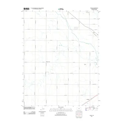
2012 Map of Yaggy
USGS Topo · Published 2012About this map
The Arkansas River meanders across this Reno County landscape, carving a wide valley defined by a complex network of ephemeral and perennial streams. Small agricultural and transit points such as Yaggy, Adams Corner, and Whiteside anchor the region, illustrating the dispersed settlement pattern of the Kansas plains. The land is strictly organized by a section-line grid of rural roads, including N Nickerson Rd and W 4th Ave, which facilitate movement across the prairie. The drainage system is particularly dense in the western and southern sections, where Salt Cr, Sugar Cr, and Slough Cr provide critical water management for the surrounding farmland. Near the eastern edge, Memorial Park Cem stands as a significant local landmark, while the confluence of various creeks like Dry Cr and Sand Cr underscores the hydrological importance of this riverine corridor.
Find a feature on this map
41 named features on this map. Tap any name to fly to it.
Don’t see what you’re looking for? This feature index may not catch every label — zoom into the map to look around manually.
Map Details
Editions of this 2012 Yaggy Map
This is the sole edition of this map. No revisions or reprints were ever made.
Other maps of this area

1889 · Cheney
USGS Topo · 1:125,000

1891 · Hutchinson
USGS Topo · 1:125,000

1891 · Cheney
USGS Topo · 1:125,000

1892 · Kingman
USGS Topo · 1:125,000

1893 · Hutchinson
USGS Topo · 1:125,000

1894 · Kingman
USGS Topo · 1:125,000

1894 · Lyons
USGS Topo · 1:125,000

1901 · Cheney
USGS Topo · 1:125,000

1955 · Wichita
USGS Topo · 1:250,000

1955 · Great Bend
USGS Topo · 1:250,000