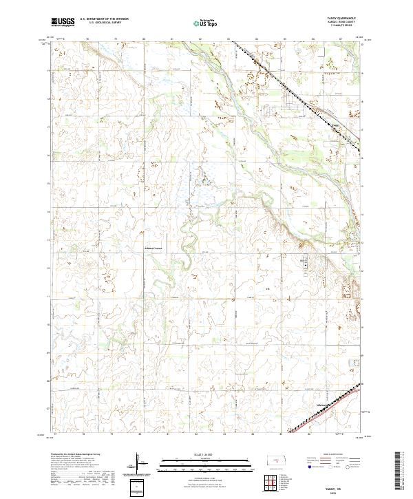
2022 Map of Yaggy
USGS Topo · Published 2022About this map
Arkansas River hydrology and the agricultural grid of central Kansas dominate this recent survey of the region west of Hutchinson. The landscape is defined by a dense network of seasonal and perennial drainage, including Slough Cr, Salt Cr, and Sand Cr, which weave through a systematic township and range system. Small rural settlements like Adams Corner, Yaggy, and Whiteside serve as historical anchors in a terrain mostly dedicated to large-scale farming and section roads.
Find a feature on this map
37 named features on this map. Tap any name to fly to it.
Don’t see what you’re looking for? This feature index may not catch every label — zoom into the map to look around manually.
Map Details
Editions of this 2022 Yaggy Map
This is the sole edition of this map. No revisions or reprints were ever made.
Other maps of this area

1889 · Cheney
USGS Topo · 1:125,000

1891 · Hutchinson
USGS Topo · 1:125,000

1891 · Cheney
USGS Topo · 1:125,000

1892 · Kingman
USGS Topo · 1:125,000

1893 · Hutchinson
USGS Topo · 1:125,000

1894 · Kingman
USGS Topo · 1:125,000

1894 · Lyons
USGS Topo · 1:125,000

1901 · Cheney
USGS Topo · 1:125,000

1955 · Wichita
USGS Topo · 1:250,000

1955 · Great Bend
USGS Topo · 1:250,000