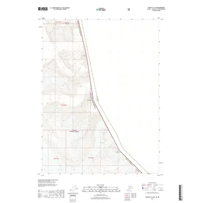
2017 Map of Yakutat D-2 SW
USGS Topo · Published 2017About this map
Glacial ice and high alpine peaks dominate this frontier landscape along the international boundary between the United States of America and Canada. The high ridges of the Saint Elias Mountains provide a dramatic backdrop for several significant ice fields, including the Art Lewis Glacier in the north and the East Nunatak Glacier further south. Much of the Alaskan portion of this quadrangle falls within the protected expanse of the Tongass National Forest, illustrating the intersection of federal conservation lands and the remote Alaska Yakutat Borough. Prominent summits such as Mt Duff, Mt Wade, and Mt Herbert serve as navigational anchors in this largely roadless and vertical environment, where the topography is defined more by ice flow and elevation than human settlement.
Find a feature on this map
15 named features on this map. Tap any name to fly to it.
Don’t see what you’re looking for? This feature index may not catch every label — zoom into the map to look around manually.
Map Details
Editions of this 2017 Yakutat D-2 SW Map
This is the sole edition of this map. No revisions or reprints were ever made.
Other maps of this area

1951 · Yakutat
USGS Topo · 1:250,000

1959 · Yakutat C-3
USGS Topo · 1:63,360

1959 · Yakutat D-3
USGS Topo · 1:63,360

1959 · Yakutat
USGS Topo · 1:250,000

1985 · Yakutat C-2
USGS Topo · 1:63,360
1985 · Yakutat D-2
USGS Topo · 1:63,360
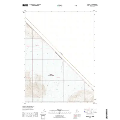
2017 · Yakutat C-2 NE
USGS Topo · 1:25,000
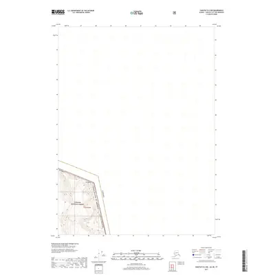
2017 · Yakutat D-2 NW
USGS Topo · 1:25,000
2017 · Yakutat D-3 NE
USGS Topo · 1:25,000
2017 · Yakutat C-2 NW
USGS Topo · 1:25,000