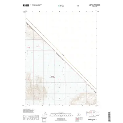
2017 Map of Yakutat C-2 NE
USGS Topo · Published 2017About this map
Novatak Glacier and the surrounding ice fields dominate this high-latitude survey along the international boundary between Canada and the United States of America. This terrain is defined by its massive glacial movements, where the Battle Glacier and East Nunatak Glacier flow through the protected lands of the Tongass National Forest. The map documents a specific moment in the glaciology of the Alaska Yakutat Borough, showing the precise extent of the ice and the steep, nameless mountain ridges that separate these frozen rivers. The inclusion of the Public Land Survey System grid, including t25s r41e, provides a structural framework for this otherwise wild landscape, helping researchers correlate these natural features with federal land records.
Find a feature on this map
12 named features on this map. Tap any name to fly to it.
Don’t see what you’re looking for? This feature index may not catch every label — zoom into the map to look around manually.
Map Details
Editions of this 2017 Yakutat C-2 NE Map
This is the sole edition of this map. No revisions or reprints were ever made.
Other maps of this area

1951 · Yakutat
USGS Topo · 1:250,000

1959 · Yakutat
USGS Topo · 1:250,000
1985 · Yakutat C-1
USGS Topo · 1:63,360

1985 · Yakutat C-2
USGS Topo · 1:63,360
1985 · Yakutat D-2
USGS Topo · 1:63,360
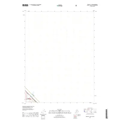
2017 · Yakutat C-1 NW
USGS Topo · 1:25,000
2017 · Yakutat C-1 SW
USGS Topo · 1:25,000
2017 · Yakutat C-2 SW
USGS Topo · 1:25,000
2017 · Yakutat C-2 NW
USGS Topo · 1:25,000
2017 · Yakutat C-2 SE
USGS Topo · 1:25,000