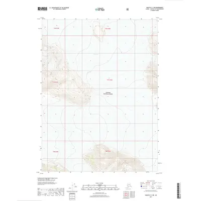
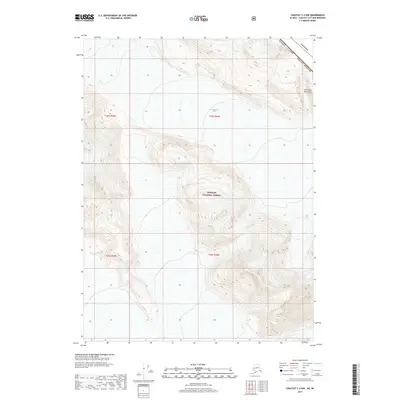
2017 Map of Yakutat C-2 SW
USGS Topo · Published 2017About this map
Nunatak Glacier dominates the northern reaches of this coastal Alaskan landscape, carving through the high elevations of the Tongass National Forest. This 2017 study captures the glacial extent and topographic contours of a wilderness region defined by dramatic vertical relief and ice-driven geography. The map provides a precise record of the ice field's position relative to the surrounding peaks, serving as a critical data point for researchers tracking glacial movement and topographical changes in the Pacific Northwest. While primarily a wilderness survey, the inclusion of Public Land Survey System boundaries like t27s r40e helps orient the vast terrain within the larger administrative framework of the Alaskan coast.
Find a feature on this map
8 named features on this map. Tap any name to fly to it.
Don’t see what you’re looking for? This feature index may not catch every label — zoom into the map to look around manually.
Map Details
Editions of this 2017 Yakutat C-2 SW Map
This is the sole edition of this map. No revisions or reprints were ever made.
Other maps of this area

1951 · Yakutat
USGS Topo · 1:250,000

1959 · Yakutat C-3
USGS Topo · 1:63,360

1959 · Yakutat B-3
USGS Topo · 1:63,360

1959 · Yakutat B-2
USGS Topo · 1:63,360

1959 · Yakutat
USGS Topo · 1:250,000

1985 · Yakutat C-2
USGS Topo · 1:63,360
2017 · Yakutat B-2 NE
USGS Topo · 1:25,000
2017 · Yakutat C-2 NE
USGS Topo · 1:25,000
2017 · Yakutat C-3 SE
USGS Topo · 1:25,000
2017 · Yakutat C-2 NW
USGS Topo · 1:25,000